The Place
Blue Ridge Parkway Photography
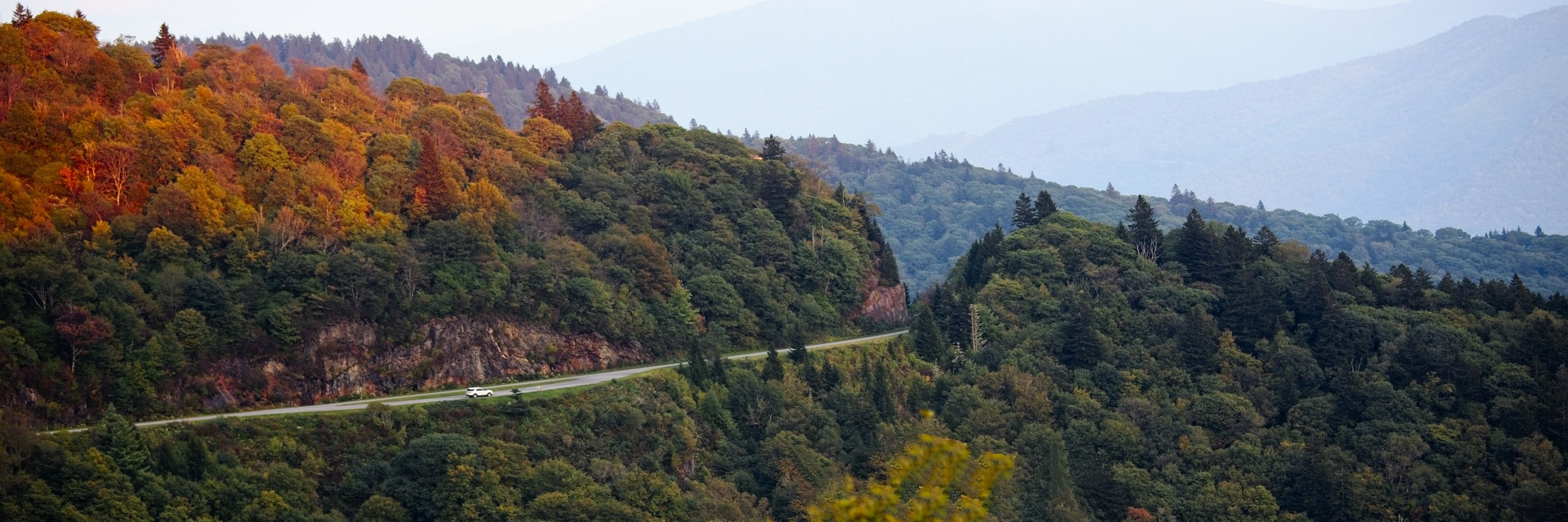
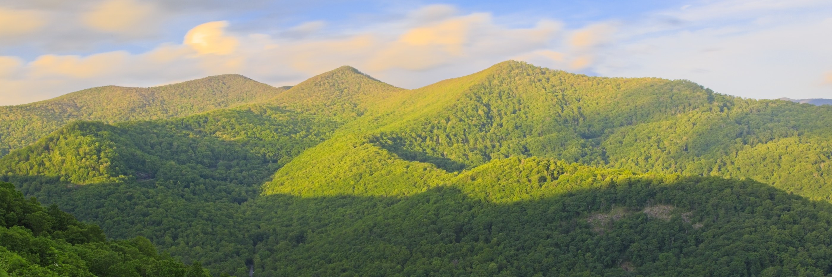
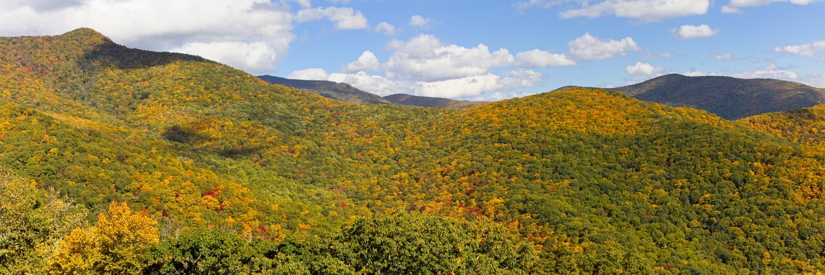
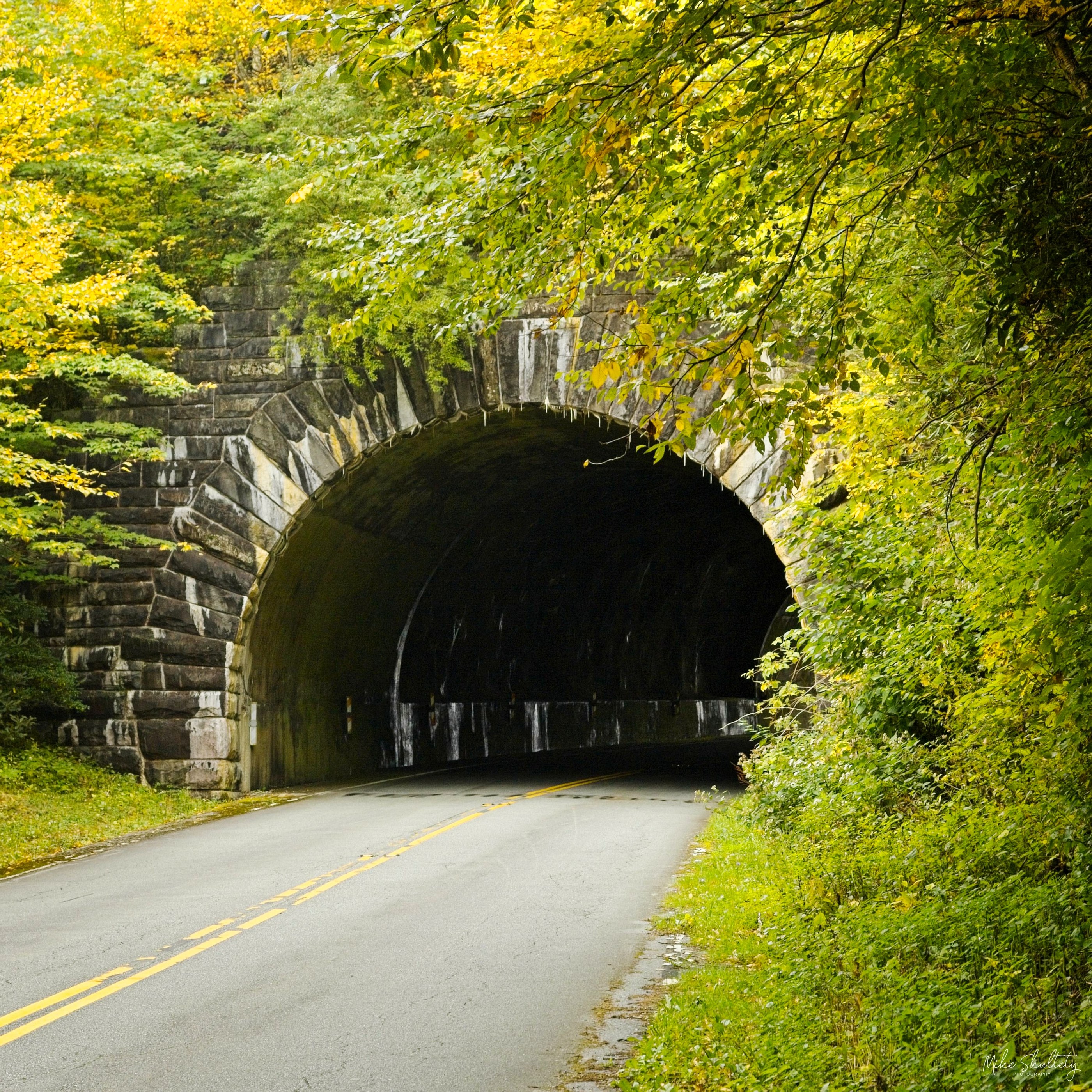
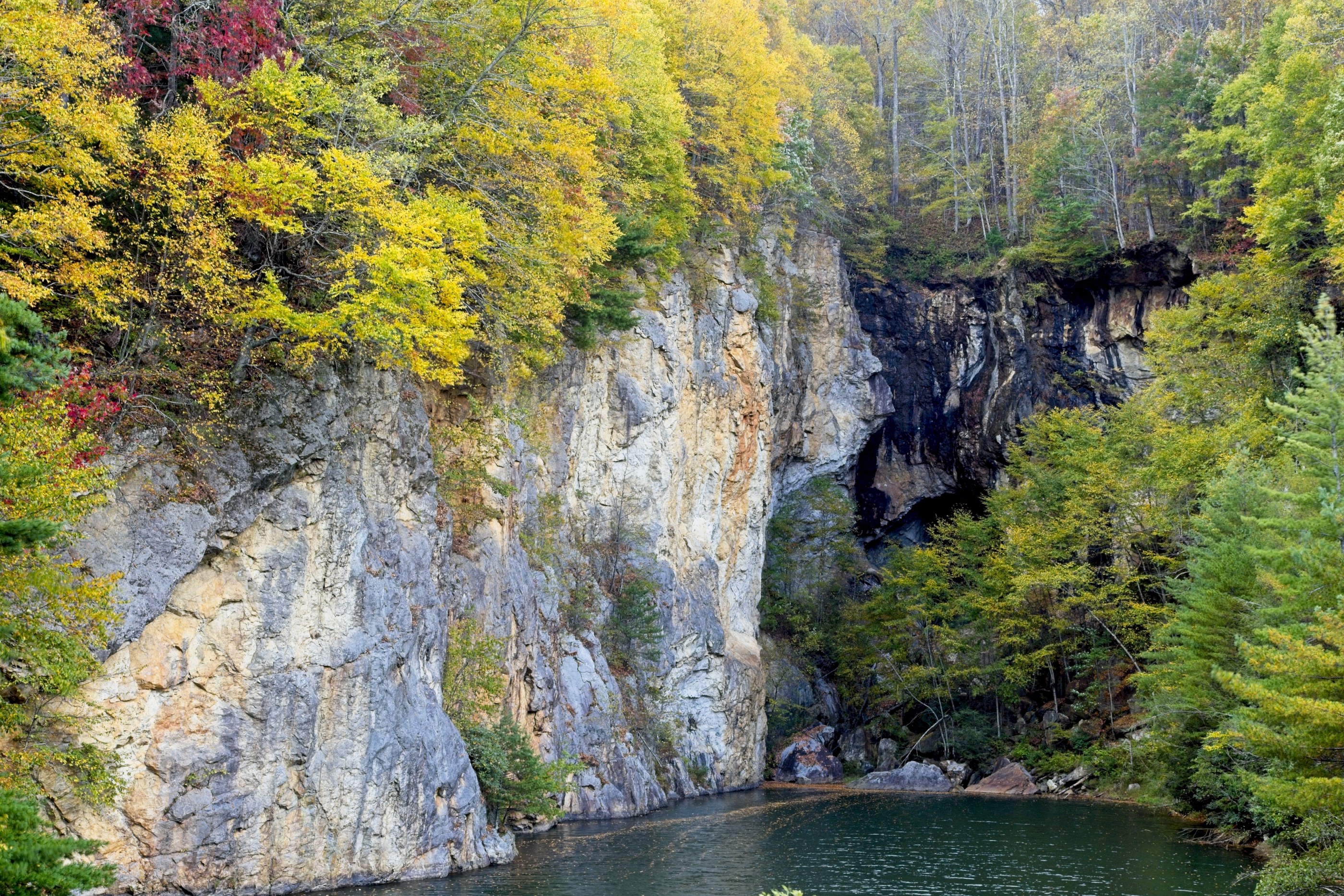
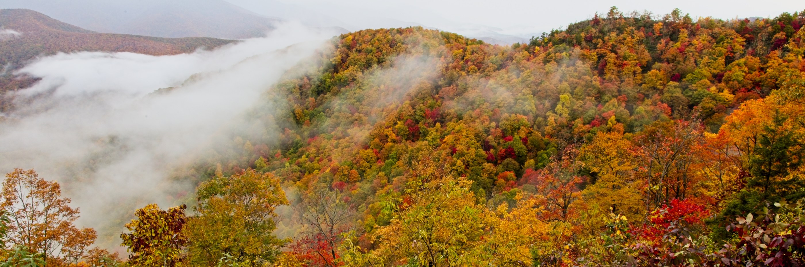
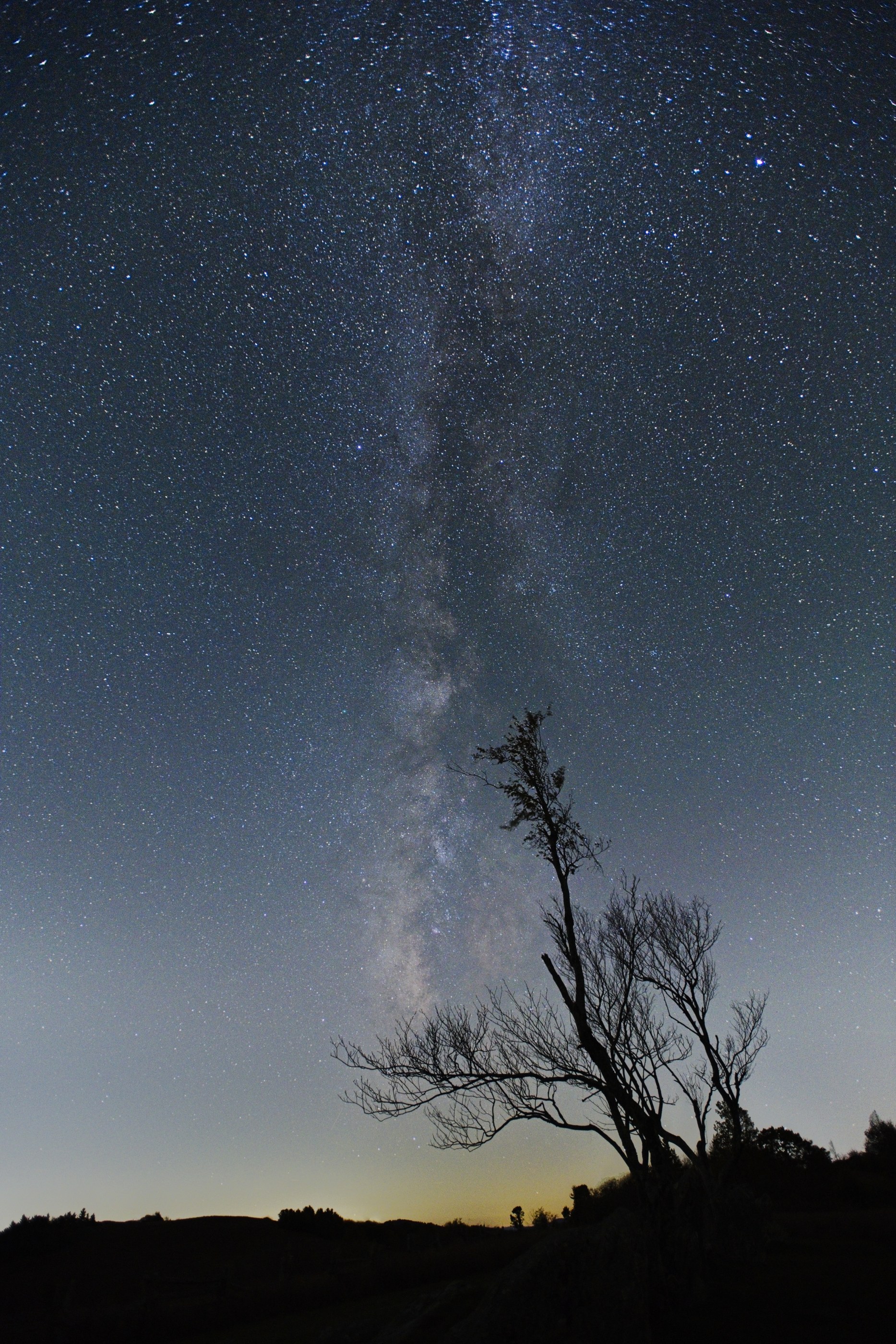
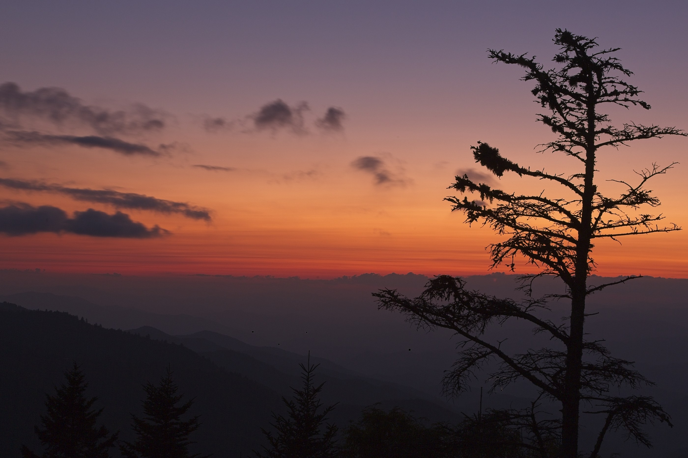
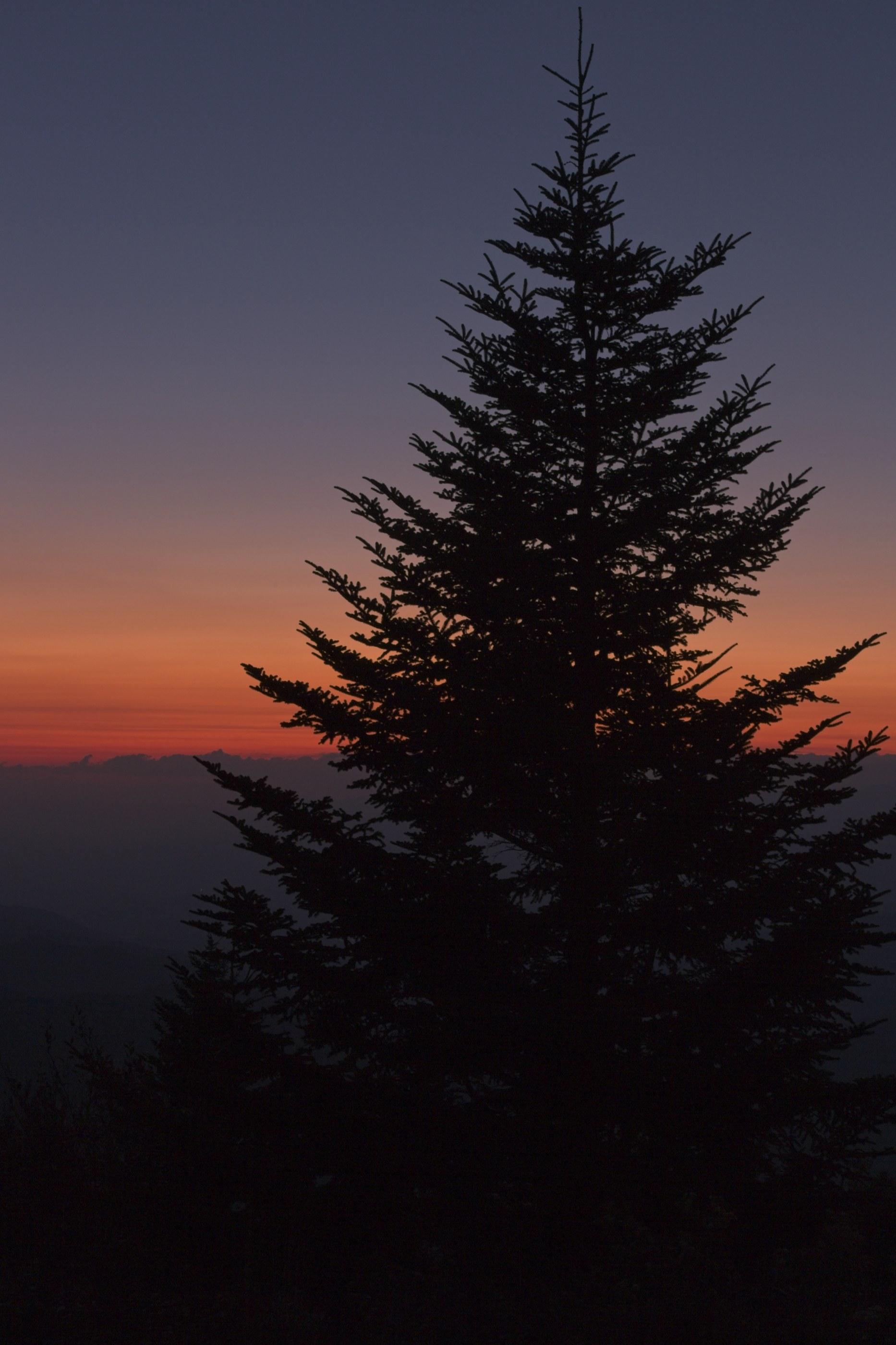
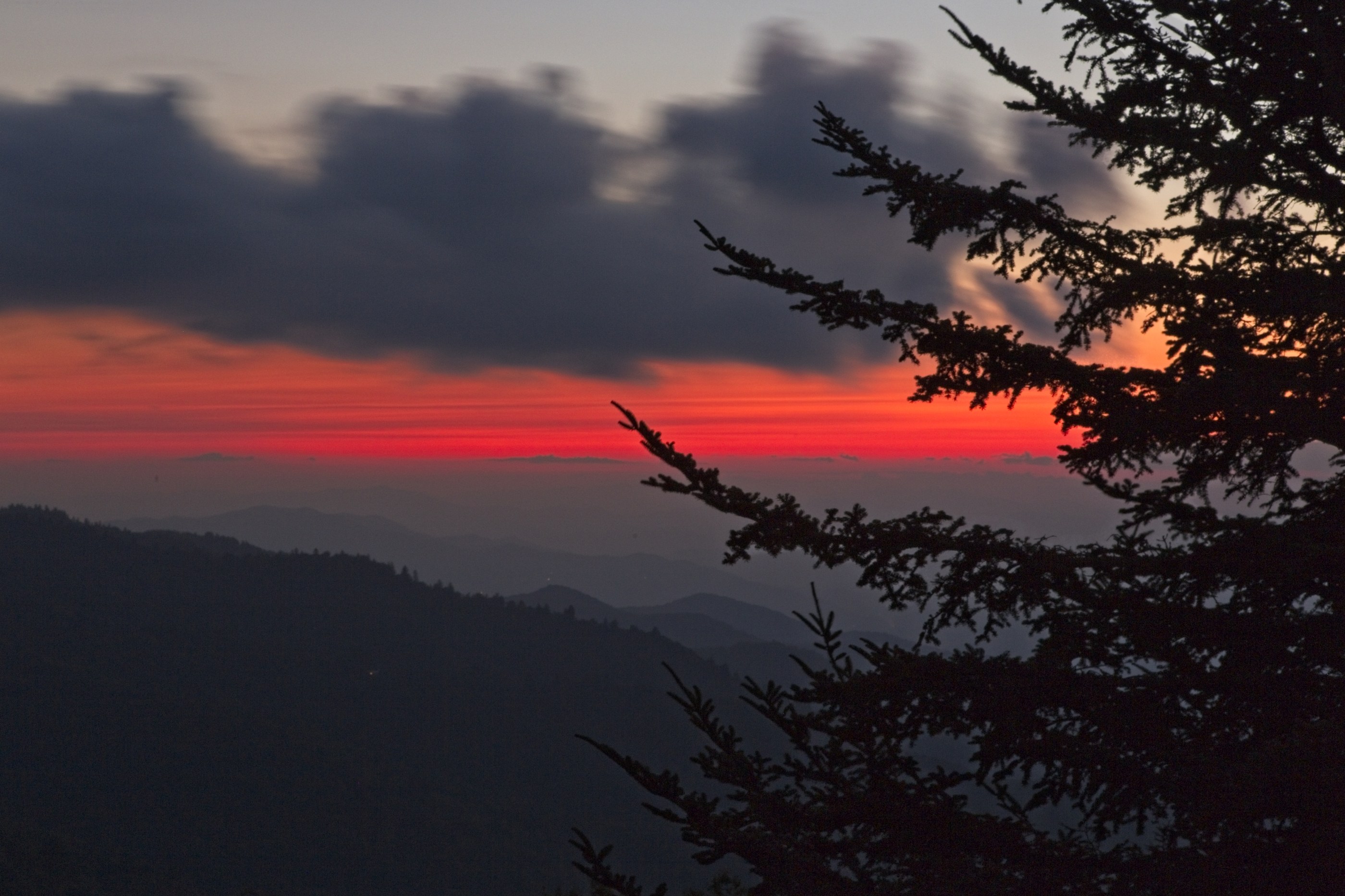
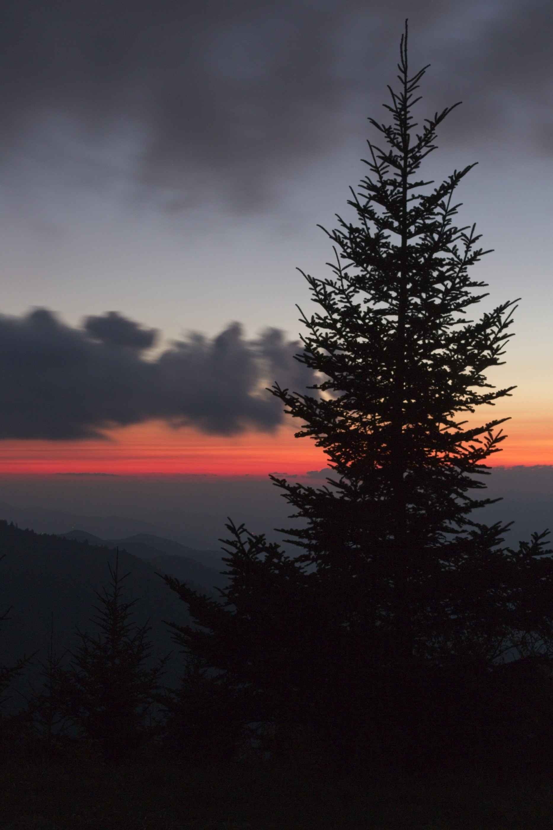
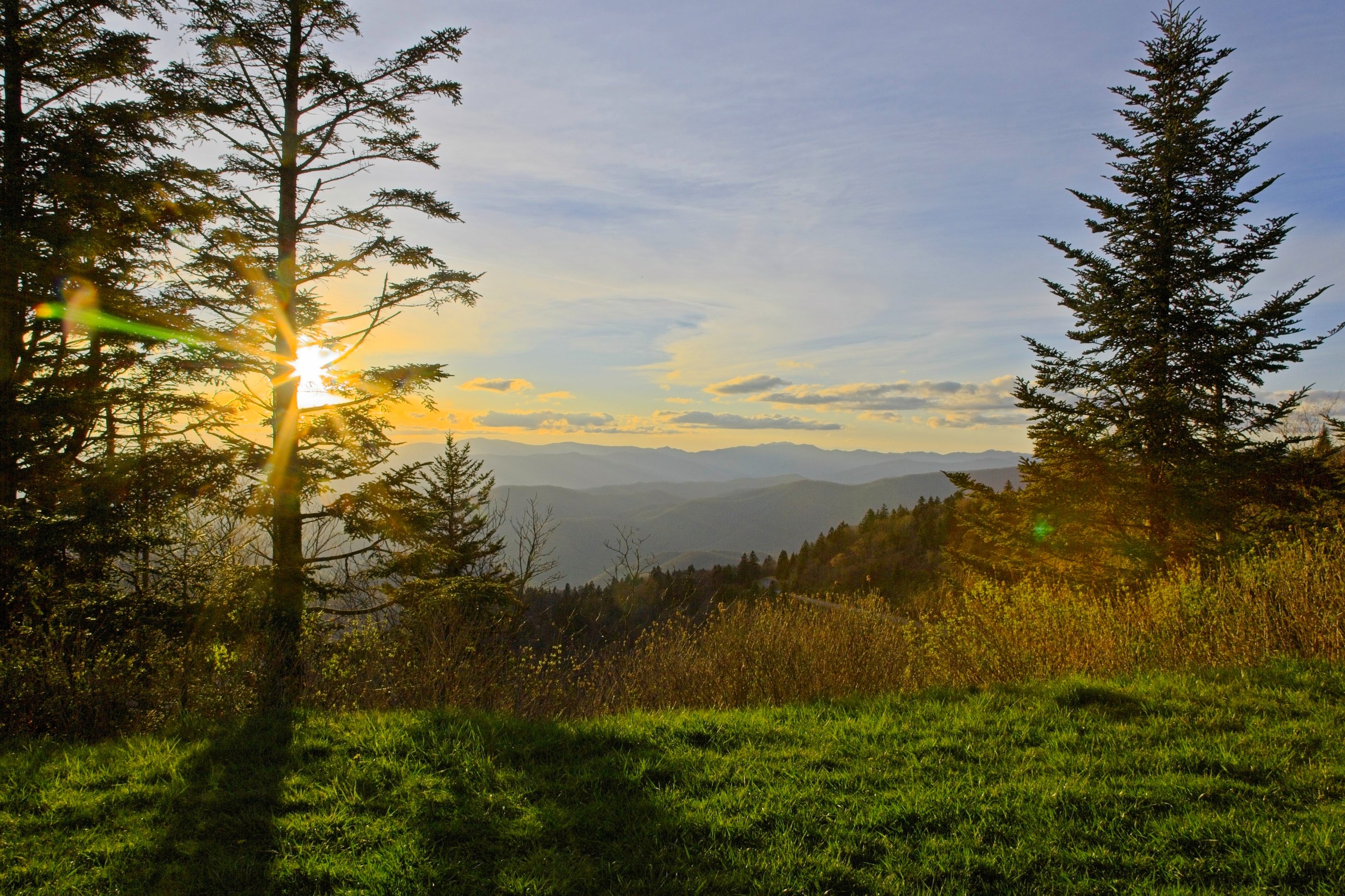
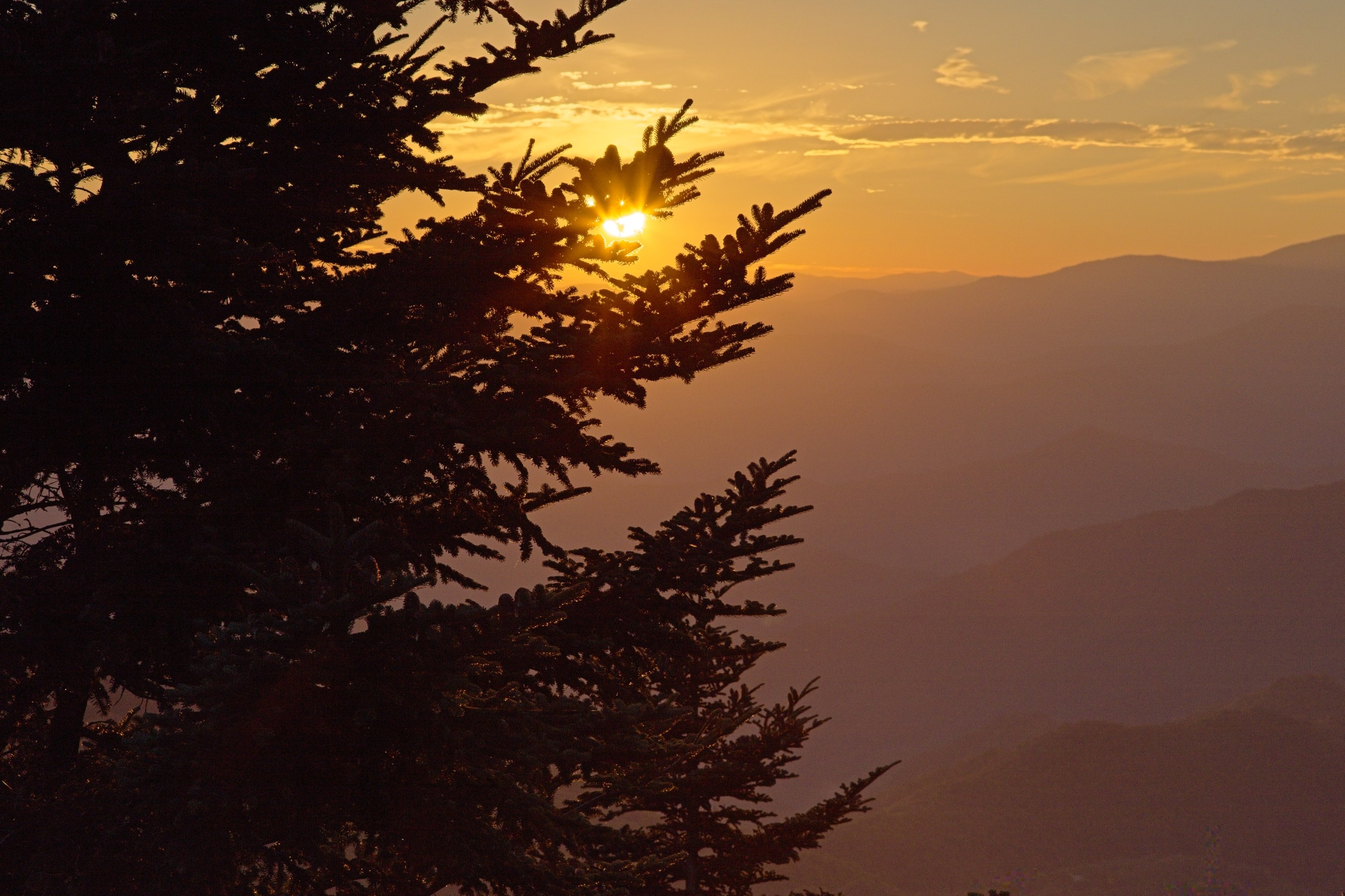
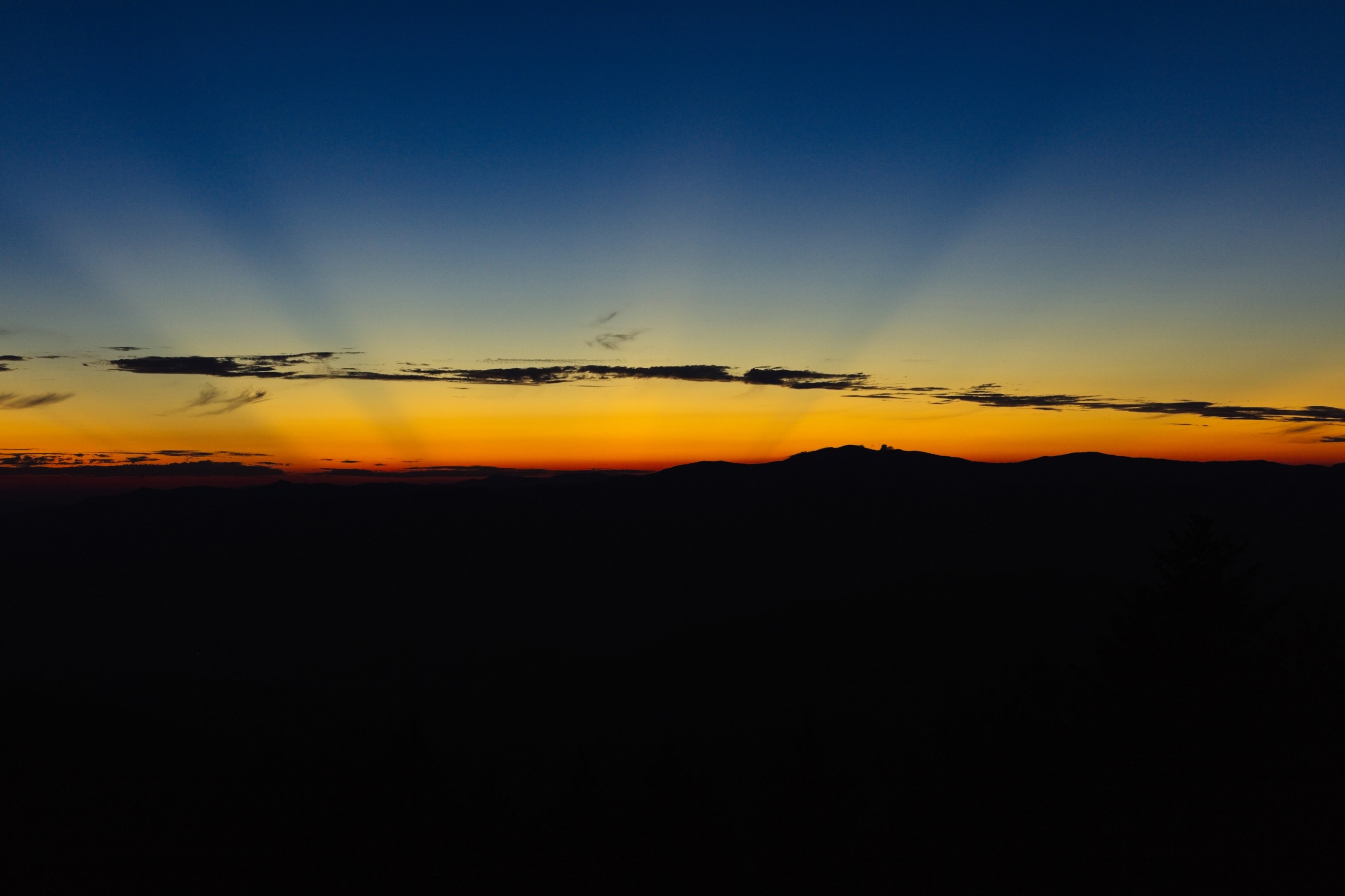
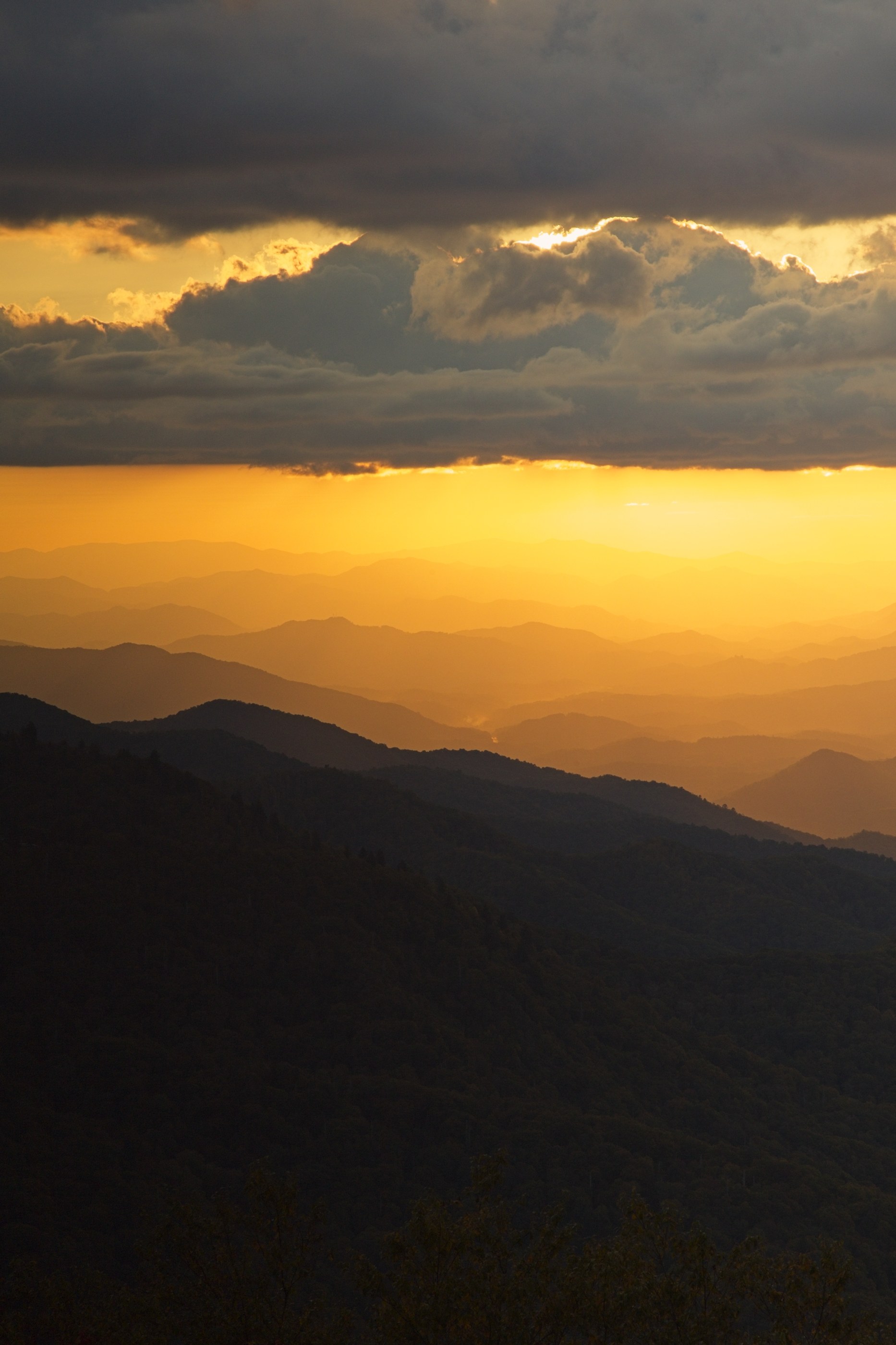
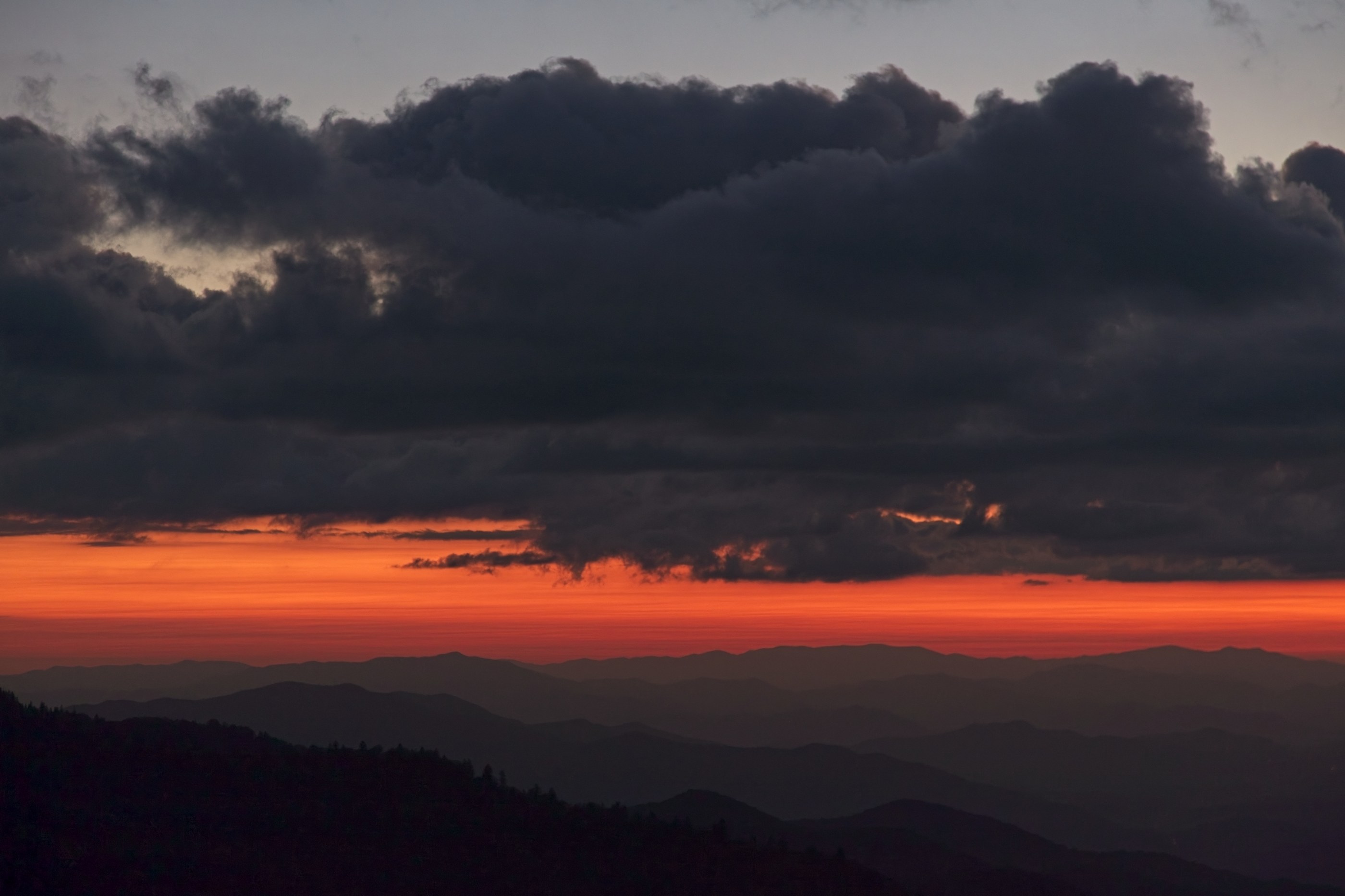
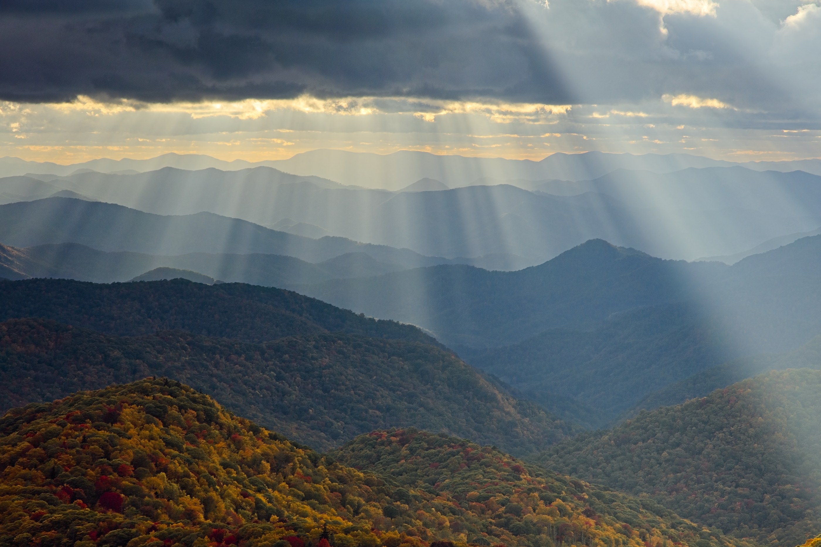
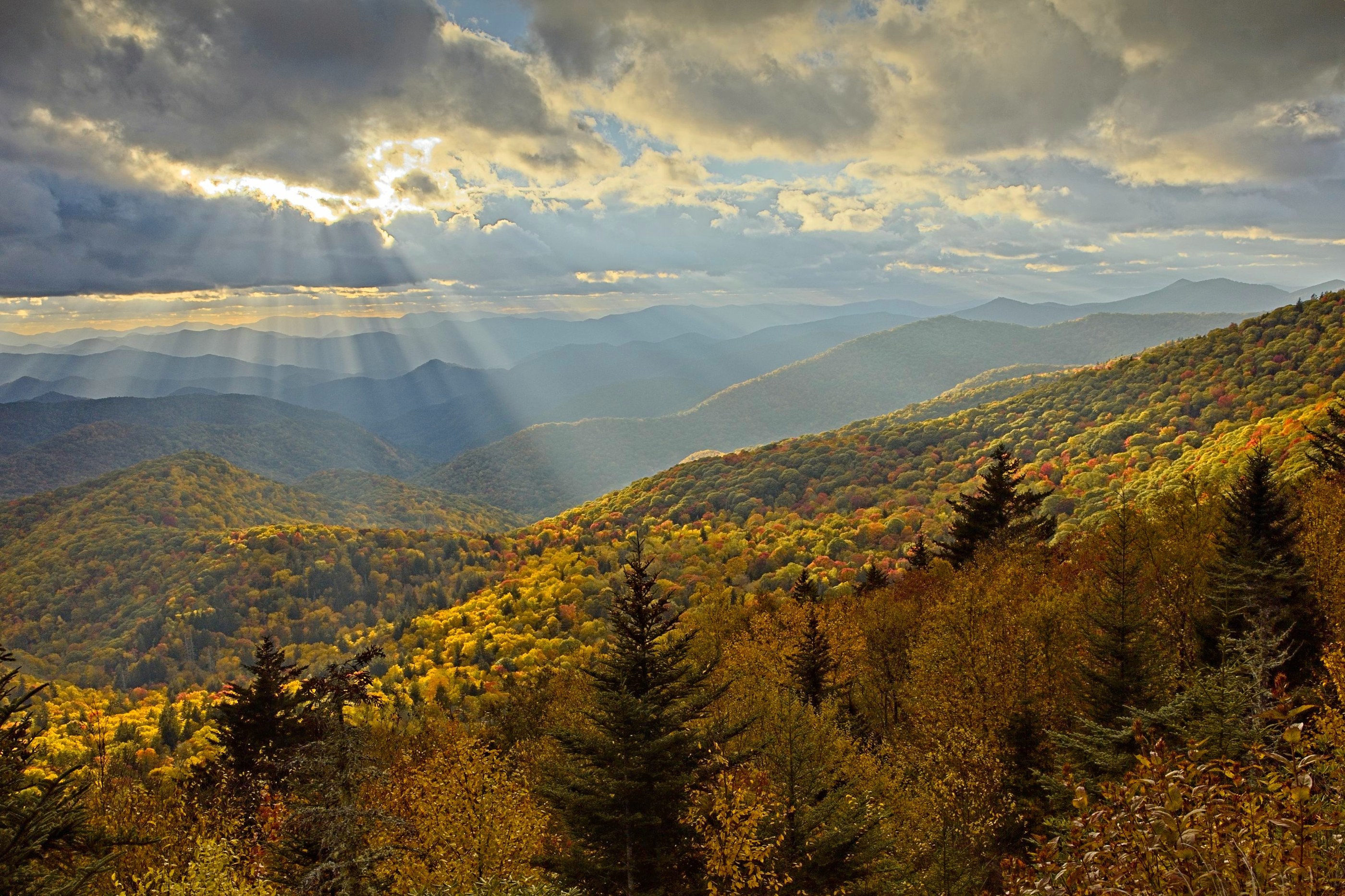
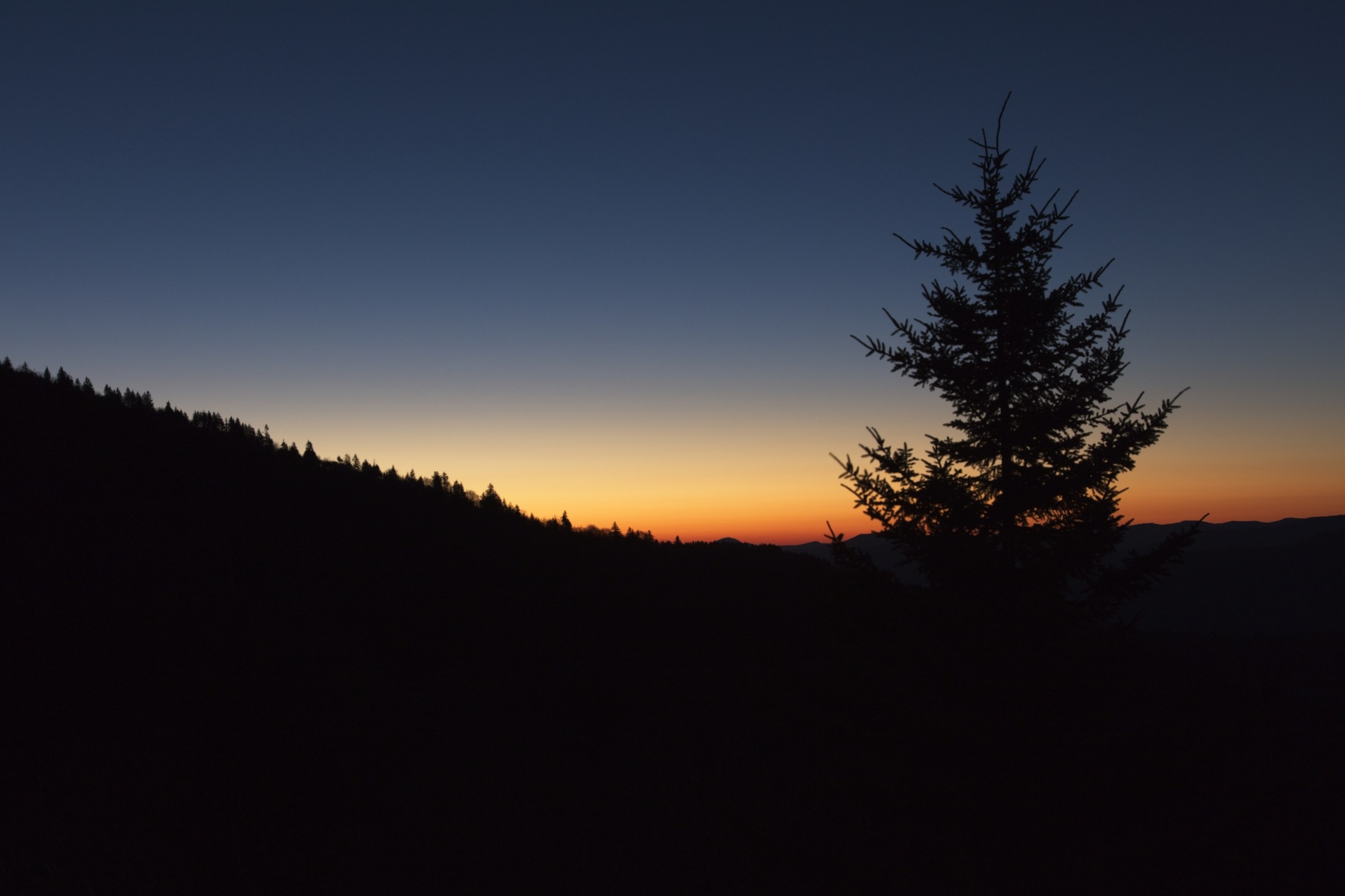
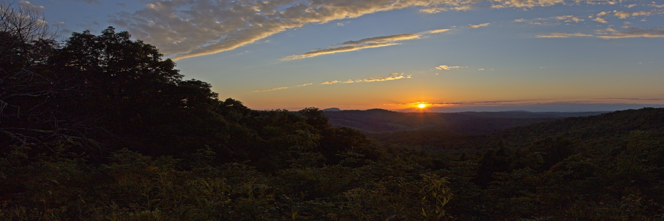
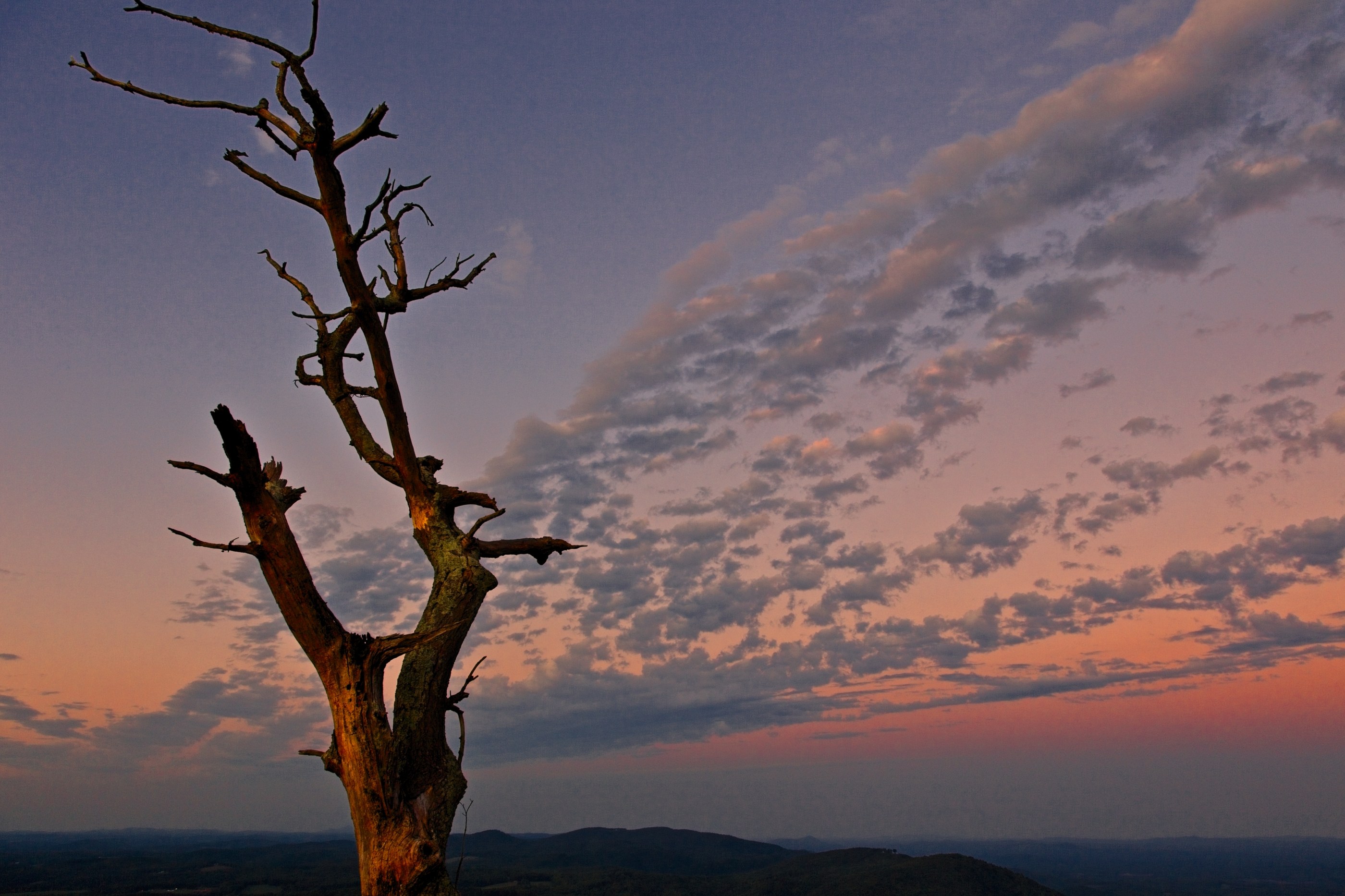
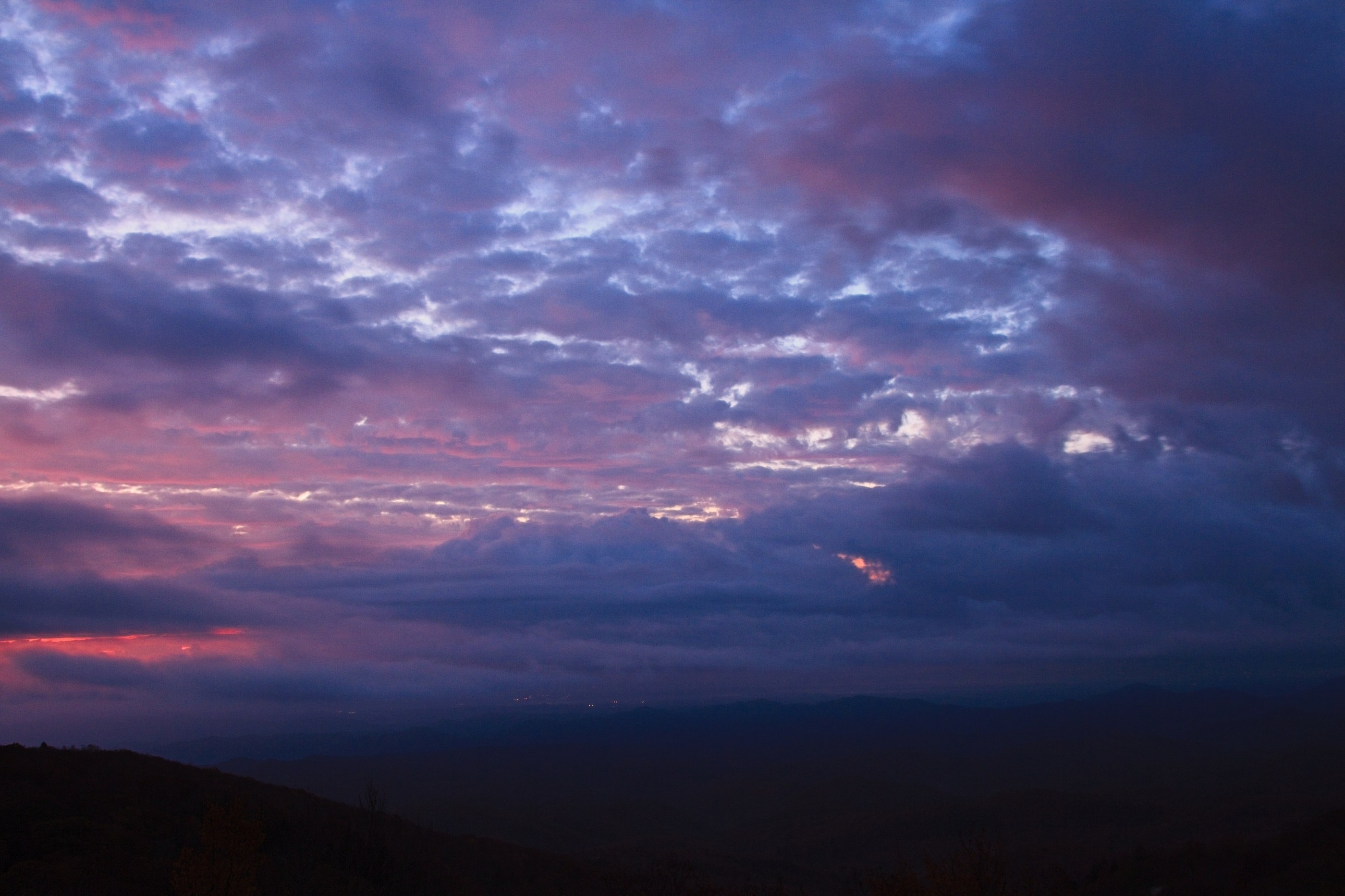
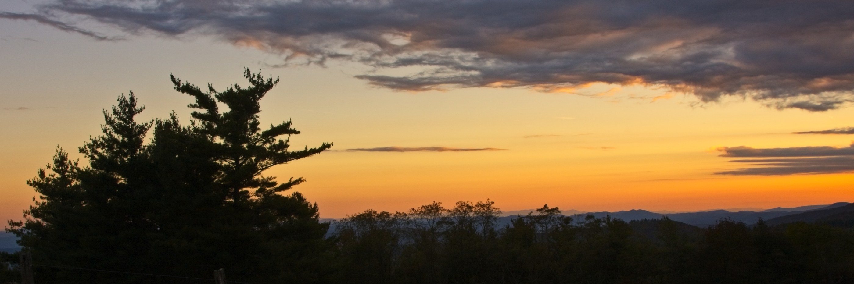
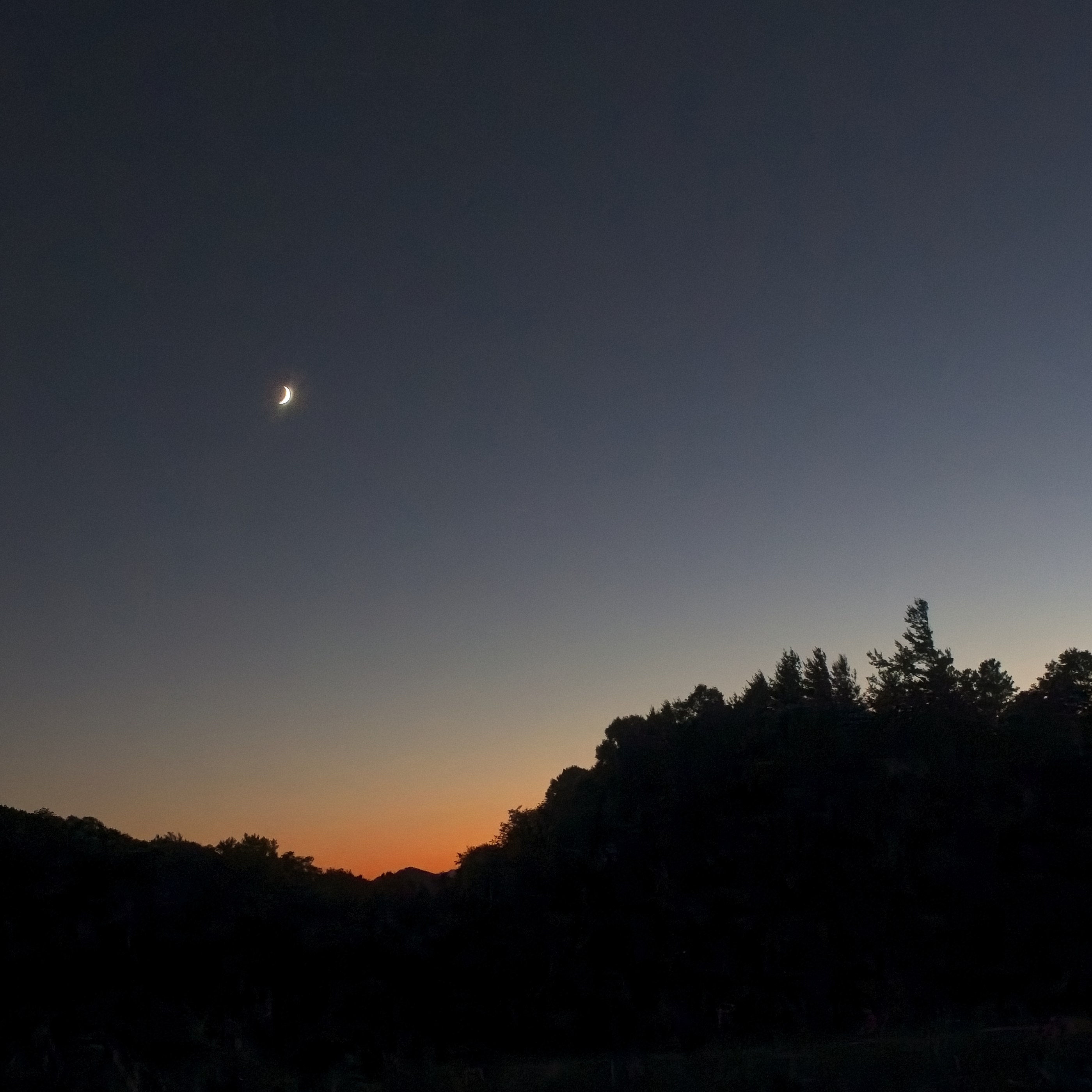
The Blue Ridge Parkway runs 469 miles along the spine of the southern Appalachians. These are the photographs from those mornings and evenings on the Parkway — fog pouring over autumn ridgelines, the long quiet of Waterrock Knob at sunset, the night sky over Doughton Park, and water moving past ancient rock at Crabtree Falls.
The Photographs
From along the Blue Ridge Parkway
Open any photo to view it large and order a print.
Mileposts
Spots along the Parkway
- Waterrock Knob (Milepost 451) — One of the highest points on the Parkway, with a sweeping view across the Smokies. Both sunrise and sunset work here; the ridges layer into the distance.
- Doughton Park (Milepost 238–244) — Long open ridgelines and some of the darkest skies on the Parkway. The Milky Way photograph is from here.
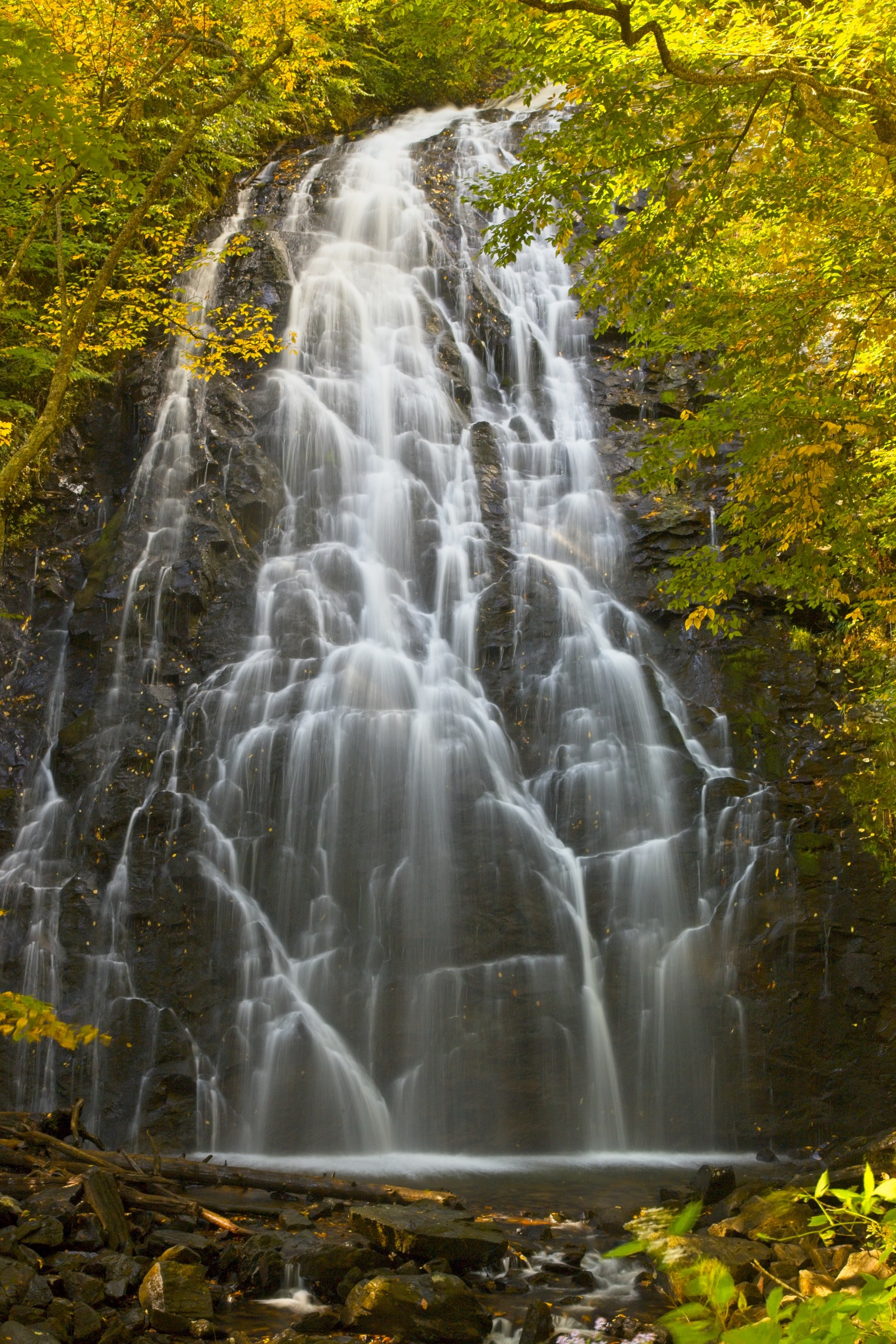
- Crabtree Falls (Milepost 339) — A short hike down through forest to a veil-like waterfall, mossy black rock on every side.
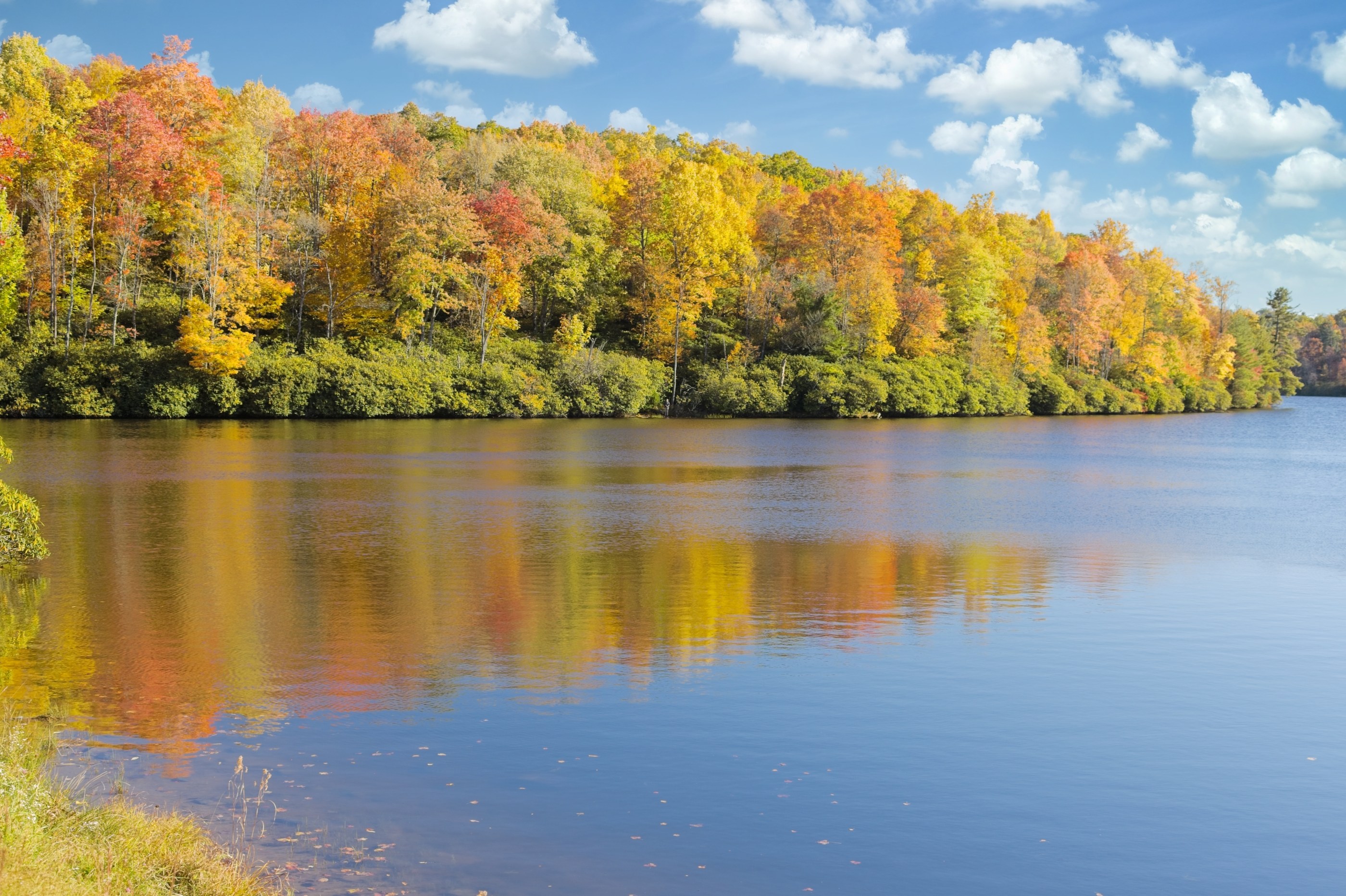
- Price Lake (Milepost 297) — A small lake near Blowing Rock that turns into a mirror when the wind drops in October.
- Emerald Village (near Milepost 334, Little Switzerland) — Old mining country tucked into the hills just off the Parkway.
Bring a piece of the Parkway home
If a particular morning here calls to you, open the photo and use the Order This Print button to choose your size and finish. Free U.S. shipping on every order.